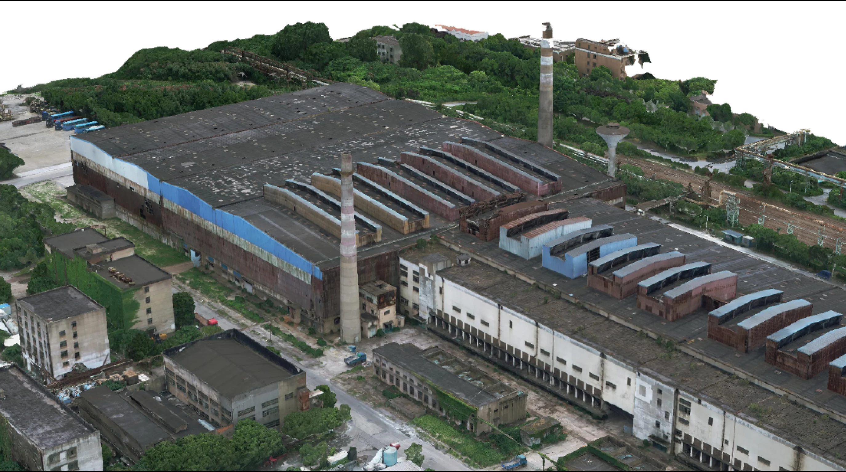
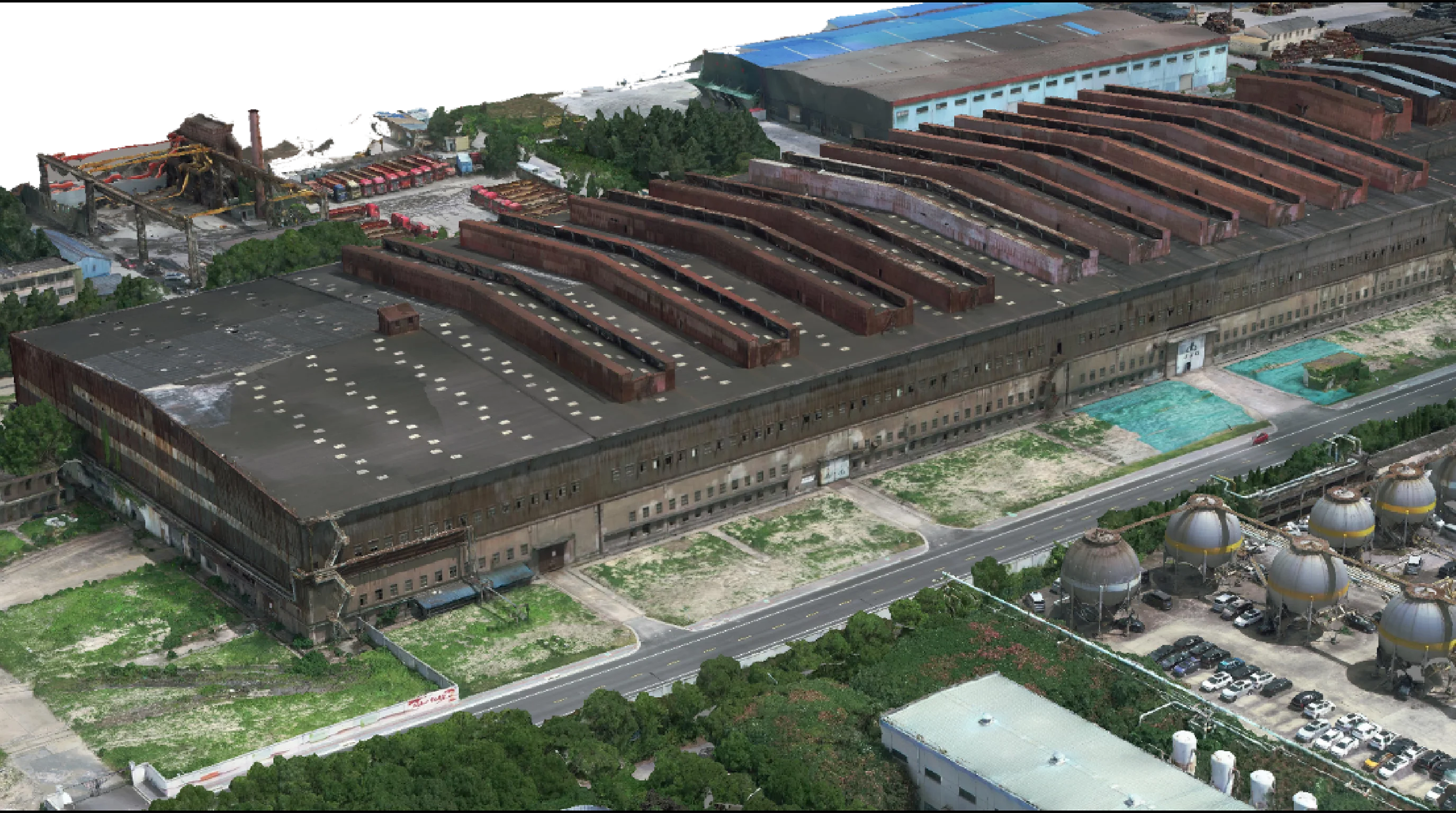
DRONE SURVEYING AND MAPPING
Real-world Building Data Acquisition
Using high-precision drones equipped with professional aerial surveying instruments to rapidly cover large terrains and buildings, capturing high-resolution images and 3D point cloud data in a short time, significantly enhancing surveying efficiency.
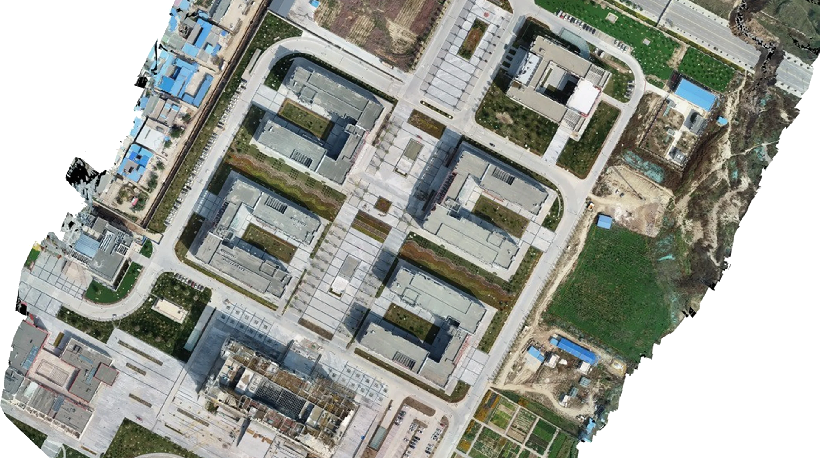
Surveying Data Model
Process the collected data using specialized software for 3D modeling and other treatments to generate high-precision Digital Orthophoto Maps (DOM), Digital Elevation Models (DEM), and 3D realistic models, with error controlled within half an inch.
Application Advantages
Widely used in scenarios such as topographic surveying, construction progress monitoring, and emergency response, providing intuitive and reliable data support for planning and design, construction management, and resource investigation, while reducing the cost and risk associated with traditional surveying methods.